


INTERGEO 2026: puts Munich at the center of the geospatial world
With INTERGEO 2026, the international geospatial community once again turns its focus to the future: from 15 to 17 September, Munich will become the central meeting point for
Latest from World
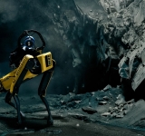
Emesent Secures $2M Grant to Develop GPS-Denied Autonomy Platform Cortex AI
Emesent, an autonomous mapping and robotics company, has been awarded a $2 million USD grant from the Australian Government’s Cooperative Research Centres Projects (CRC-P) program to develop and

Reality Capture Is Changing: From LiDAR and SLAM to Intelligent 3D Mapping
Ahead of INTERGEO 2026 in Munich, reality capture is emerging as one of the most dynamic areas of the geospatial industry. LiDAR, SLAM, imaging and AI are converging into increasingly integ
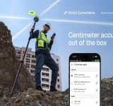
Emlid builds RTK corrections into its wide range of Reach receivers, with a free 1-year license for new and existing users
Emlid Reach receivers now come with built-in RTK corrections powered by the Point One Navigation network, making centimeter-accurate surveying possible right out of the box. 1 year of Emlid Correct

International Journal of Cartography – Volume 12, Issue 3 (2026) Published Online
The International Cartographic Association (ICA) has announced the online publication of Volume 12, Issue 3 (2026) of the International Journal of Cartography, featuring new peer-r
Esri Reflects on Five Years of Simplifying the ArcGIS Platform
Esri has published a retrospective outlining how ArcGIS has evolved over the past five years, highlighting a continuous effort to simplify user experience, licensing, application development and sp
HERE Technologies and Esri partner to develop location analytics to support AI adoption
HERE Technologies, the world’s leading mapping and location data company, and Esri today announced a 3-year agreement to jointly develop location-based analytics and visualization solutions that
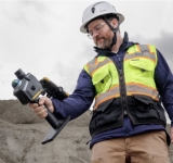
Topcon and GreenValley International collaborate on spatial intelligence innovations
LIVERMORE, Calif. — July 14, 2026 — Topcon Positioning Systems announced it has entered a strategic agreement with GreenValley International(GVI) to collaborate on technologi
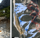
IRIDE advance debris-flow prediction in the Dolomites through Cyber Italy Digital Twin technologies
In mountainous environments, extreme rainfall events can rapidly evolve into destructive debris flows, threatening roads, infrastructure, and communities within minutes. To address this challenge,
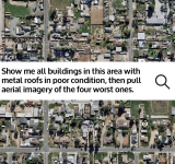
Vexcel Brings Aerial Imagery and Geospatial Intelligence to AI Platforms
Access Vexcel imagery and geospatial data within any MCP-compatible AI platform, including ChatGPT, Claude, Microsoft Copilot, and Gemini.
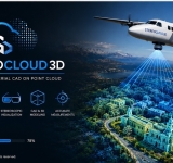
StereoCloud3D: Bringing True Stereoscopic Mapping Back to the Point Cloud Era
A New Approach to 3D Feature Extraction from Massive Geospatial Datasets.
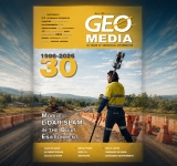
GEOmedia 2/2026 is out: "Mobile LiDAR SLAM in the Built Environment"
GEOmedia 2/2026 is now available, marking the second issue of the magazine's 30th anniversary year and bringing together contributions that explore some of the most dynamic developments in geomatic
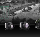
Teledyne FLIR OEM Launches Boson SX8, the First NDAA-Compliant 8 µm SXGA LWIR Thermal Camera Module
GOLETA, Calif., June 8, 2026 — Teledyne FLIR OEM, a business unit of Teledyne Technologies Incorporated, announced the release of the ITAR-free Esri president Jack Dangermond received the 30 Years of International Green Development Influential Figures Award from the International Fund for China’s Environme
Esri’s Jack Dangermond Honored with Award from International Fund for China’s Environment
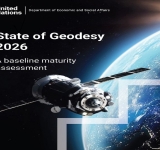
State of Geodesy 2026: the first global assessment of geodetic maturity
In March 2026, the UN Global Geodetic Centre of Excellence released State of Geodesy 2026 – A Baseline Maturity Assessment, the first comprehensive evaluation of the maturity of the Glob
From Pixels to Planet: AI-Orchestrated Pipelines for the Future of Geospatial Analysis
The rapid growth of Earth Observation technologies is transforming the way scientists, institutions, and environmental agencies analyze the planet. Every day, satelli

