

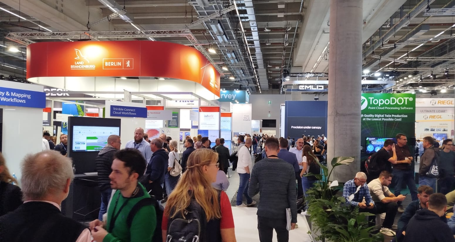
Digital twins are moving beyond 3D visualization. Their real value depends on accurate geospatial data, continuous updates and the integration of GIS, BIM, reality capture, Earth observation and real-time information.
The term Digital Twin is now used across infrastructure, cities, utilities, manufacturing and cultural heritage. Yet the rapid diffusion of the concept has also created a persistent ambiguity: a detailed 3D model is not necessarily a digital twin.
A digital twin becomes operational only when its digital representation remains connected to the physical world through data flows, updates and processes capable of supporting analysis and decisions.
For the geospatial industry, this distinction is fundamental. A digital twin without a reliable geospatial foundation risks remaining a sophisticated visualization rather than an operational representation of the real world.
Beyond the 3D model
Three-dimensional visualization is often the most visible component of a digital twin, but it is only one layer of a much more complex system.
An operational twin must know not only what an object looks like, but also where it is, how accurately it has been positioned, when it was observed, how it relates to surrounding objects and how its state changes over time.
This is why geospatial information becomes foundational.
A recent 2026 ISPRS study examining public-sector geospatial information in digital twins highlights precisely this issue. At geographic and urban scales, digital twins necessarily depend on geospatial information to represent the built environment, while authoritative datasets produced by mapping and cadastral agencies can serve as a foundational component of the system.
The study also notes that the value of this authoritative geospatial layer is often not fully recognised within digital-twin strategies.
One ground truth matters
The problem becomes especially visible when digital twins combine multiple acquisition technologies.
LiDAR, drone photogrammetry, orthoimagery, elevation models, BIM models and sensor data may all describe the same physical environment, but they are not automatically aligned.
Different coordinate reference systems, acquisition methods, vertical datums and levels of positional accuracy can introduce discrepancies that become critical when datasets are integrated.
INTERGEO 2026 addresses this issue directly. A Main Stage session entitled “One Ground Truth: Aligning Multi-Source Geospatial Data” will demonstrate how inconsistencies between terrestrial LiDAR, drone-derived point clouds, imagery and elevation data can compromise the reliability of a digital twin even when the individual datasets are themselves high quality.
The message is straightforward: interoperability is not only about file formats. Geodetic consistency remains fundamental.
GIS and BIM are converging
Another central challenge concerns the relationship between GIS and BIM.
BIM environments are designed to describe assets and structures in considerable semantic and geometric detail. GIS, on the other hand, provides the spatial and territorial context in which those assets exist.
Digital twins increasingly require both.
INTERGEO 2026 dedicates a specific session to the creation of Spatial Digital Twins through the integration of BIM Common Data Environments with GIS. The proposed workflow connects openBIM models, point clouds and enterprise GIS while allowing organisations to retain different existing BIM platforms.
This reflects a broader industry trend: digital twins are progressively becoming environments in which asset-scale information and geographic-scale information must coexist.
The objective is not to replace BIM with GIS or GIS with BIM, but to create interoperable workflows capable of connecting the two.
Reality capture keeps the twin connected to reality
If GIS and BIM provide structure and context, reality capture provides one of the principal mechanisms for updating the digital representation.
Terrestrial laser scanning, mobile mapping, UAV photogrammetry and airborne LiDAR can document physical environments with increasing frequency and detail.
This allows organisations to compare the current physical state of an asset or territory with its digital representation.
In this sense, reality capture is no longer merely a method for producing an initial 3D model. It can become part of a recurring observation cycle.
The value lies in detecting changes: construction progress, deformation, vegetation growth, infrastructure deterioration, modifications to buildings or changes in terrain.
This is one of the reasons why the boundaries between Reality Capture and Digital Twin technologies are becoming progressively less distinct.
Earth observation expands the scale
Earth observation introduces another dimension.
Satellite data makes it possible to observe territories repeatedly and consistently over large areas, providing information on land cover, deformation, vegetation, thermal conditions, surface change and environmental processes.
For digital twins operating at city, regional or infrastructure-network scale, these repeated observations can complement more detailed local surveys.
The combination of satellite, aerial, terrestrial and sensor data therefore creates a multi-scale observation environment in which different technologies contribute according to the spatial and temporal resolution required.
This is particularly relevant for infrastructure monitoring, environmental management and urban resilience.
From static representation to continuous observation
The transition from static models to dynamic systems is also evident in other application domains.
A 2026 ISPRS review of digital twins for heritage buildings examined 204 peer-reviewed studies and identified terrestrial laser scanning, UAV photogrammetry, BIM and IoT sensor networks as the core technological base.
The review describes a six-stage workflow moving from baseline documentation and static reality capture to semantic modelling, sensor integration, data fusion and operational use.
The same study also reports growing use of artificial intelligence for defect detection, predictive maintenance and semantic processing.
Although cultural heritage presents specific requirements, the technological pattern is broadly relevant elsewhere: capture, model, connect, update, interpret and act.
AI adds another operational layer
Artificial intelligence can further change the role of digital twins.
AI can support the classification of point clouds, detection of anomalies, interpretation of imagery, identification of changes and prioritisation of events that require attention.
Agentic AI could potentially go further, coordinating parts of the workflow required to retrieve, analyse and compare geospatial information.
This connection between GeoAI and digital twins is increasingly visible at INTERGEO 2026. The programme places Digital Twins alongside Sensors, Monitoring and AI Integration, while the wider conference addresses the transition from geospatial data collection towards actionable intelligence.
The World Geospatial Industry Council panel “Data to Decisions”, for example, will focus on how geospatial data, analytics, AI and digital twins can be integrated into operational workflows and decision-making.
This progression — from data to model, from model to interpretation and from interpretation to decision — may ultimately be more important than the visual sophistication of the twin itself.
Digital twins for infrastructure and cities
Infrastructure is one of the clearest areas in which this convergence is becoming operational.
An INTERGEO Application Dome session on “Geospatial Digital Twins for Infrastructure” describes an architecture integrating real-time sensor data, 3D GIS, BIM and operational systems to provide a single authoritative view of infrastructure and urban environments.
The concept is significant because it shifts the digital twin away from a project-specific model and towards an environment used throughout operations.
For utilities, transport networks, municipalities and infrastructure operators, this can support inspection, maintenance, planning, monitoring and emergency management.
But the value of the system still depends on the quality of the information entering it.
If coordinate systems are inconsistent, datasets are outdated or semantics cannot be exchanged between platforms, the twin may reproduce uncertainty rather than reduce it.
From geospatial technology to smarter cities
The convergence of GIS, BIM, reality capture, Earth observation, sensors and AI also makes digital twins increasingly relevant beyond the traditional geospatial industry.
Cities and public administrations are exploring digital twins as operational environments for infrastructure management, mobility, energy, environmental monitoring, urban planning and resilience.
This creates an important connection between technologies presented at international geospatial events such as INTERGEO and their implementation within national and local public-sector ecosystems.
Italy represents an interesting testing ground for this transition, as municipalities, public administrations, utilities and infrastructure operators increasingly address digital transformation, data interoperability and the development of smarter territorial services.
For international technology providers, the challenge is therefore no longer simply to demonstrate what a digital twin can do. It is also to understand how geospatial technologies can be integrated into the governance, procurement and operational processes of cities and public administrations.
This is where the relationship between GEOmedia and SmartForCity becomes particularly relevant from an editorial perspective. GEOmedia follows the technologies and geospatial infrastructures behind digital transformation, while SmartForCity examines how those technologies enter the Italian urban and public-sector ecosystem.
What to watch at INTERGEO 2026
The Digital Twin sessions scheduled for Munich provide a useful indication of where the industry is moving.
The focus is no longer limited to 3D visualisation. The recurring themes are interoperability, geospatial alignment, BIM-GIS integration, cloud infrastructure, real-time data, AI and operational decision support.
For GEOmedia, the questions to follow at INTERGEO will therefore be practical ones.
How frequently can a twin be updated? How are data quality and positional accuracy maintained? How can BIM and GIS environments remain interoperable? How are point clouds, sensor feeds and Earth observation integrated? And how can organisations transform a technically sophisticated model into a system that genuinely supports decisions?
Digital twins may ultimately prove valuable not because they reproduce reality in greater visual detail, but because they create a reliable connection between observation, spatial context and action.
That connection begins with geospatial information.
GEOmedia will be at INTERGEO 2026 in Munich from 15 to 17 September, following the technologies and companies building the geospatial foundations of the next generation of operational digital twins.
Sources
- Metcalfe, J. et al. – Conceptualising value in public sector geospatial information for digital twins, ISPRS Annals, 2026.
- Tootoonchi, R. and Hess, M. – Digital Twin in Heritage Buildings: A Comparative Literature Review of Integrated Technologies, Devices, and Applications, ISPRS Annals, 2026.
- INTERGEO 2026 – Main Stage programme.
- INTERGEO 2026 – One Ground Truth: Aligning Multi-Source Geospatial Data.
- INTERGEO 2026 – BIM, GIS and Spatial Digital Twins using openBIM models and point clouds.
This article is part of GEOmedia's Road to INTERGEO 2026. Follow our international coverage, get your free visitor ticket and meet GEOmedia in Munich.
EXPLORE GEOmedia AT INTERGEO 2026 →


