

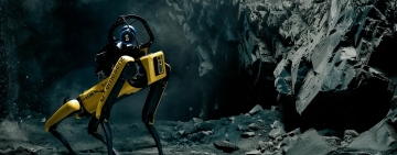
Emesent Secures $2M Grant to Develop GPS-Denied Autonomy Platform Cortex AI
Emesent, an autonomous mapping and robotics company, has been awarded a $2 million USD grant from the Australian Government’s Cooperative Research Centres Projects (CRC-P) program...

Reality Capture Is Changing: From LiDAR and SLAM to Intelligent 3D Mapping
Ahead of INTERGEO 2026 in Munich, reality capture is emerging as one of the most dynamic areas of the geospatial industry. LiDAR, SLAM, imaging and AI are converging into...
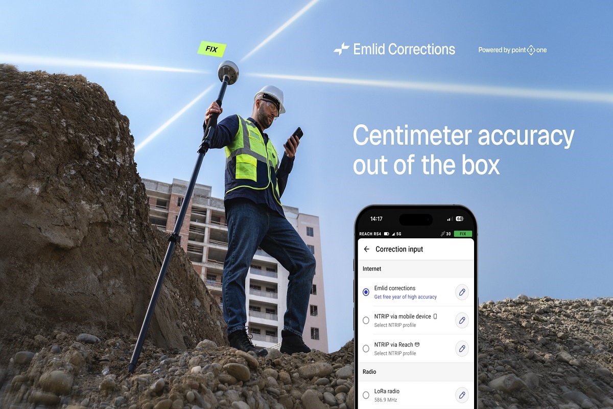
Emlid builds RTK corrections into its wide range of Reach receivers, with a free 1-year license for new and existing users
Emlid Reach receivers now come with built-in RTK corrections powered by the Point One Navigation network, making centimeter-accurate surveying possible right out of the box. 1...

International Journal of Cartography – Volume 12, Issue 3 (2026) Published Online
The International Cartographic Association (ICA) has announced the online publication of Volume 12, Issue 3 (2026) of the International Journal of Cartography, featuring new...

Esri Reflects on Five Years of Simplifying the ArcGIS Platform
Esri has published a retrospective outlining how ArcGIS has evolved over the past five years, highlighting a continuous effort to simplify user experience, licensing, application...

HERE Technologies and Esri partner to develop location analytics to support AI adoption
HERE Technologies, the world’s leading mapping and location data company, and Esri today announced a 3-year agreement to jointly develop location-based analytics and visualization...
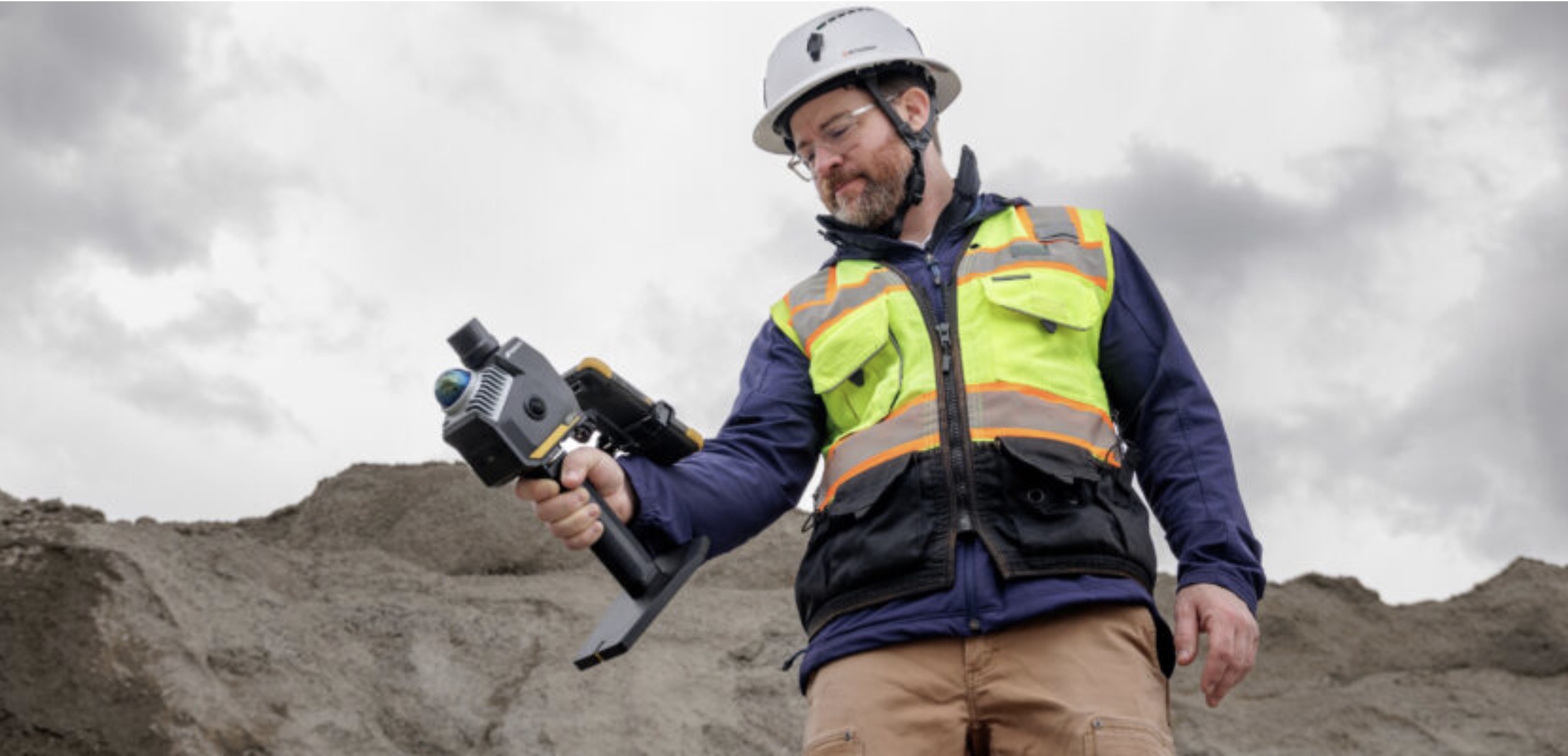
Topcon and GreenValley International collaborate on spatial intelligence innovations
LIVERMORE, Calif. — July 14, 2026 — Topcon Positioning Systems announced it has entered a strategic agreement with GreenValley International(GVI) to collaborate on technologies...
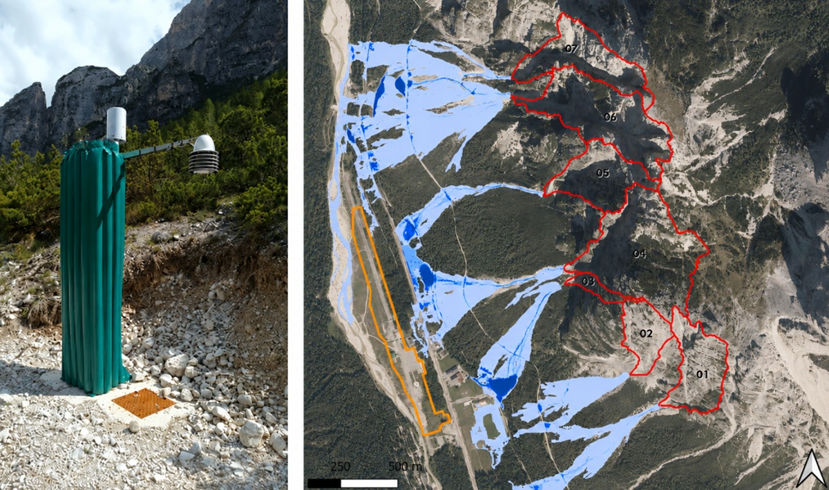
IRIDE advance debris-flow prediction in the Dolomites through Cyber Italy Digital Twin technologies
In mountainous environments, extreme rainfall events can rapidly evolve into destructive debris flows, threatening roads, infrastructure, and communities within minutes. To...
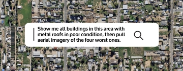
Vexcel Brings Aerial Imagery and Geospatial Intelligence to AI Platforms
Access Vexcel imagery and geospatial data within any MCP-compatible AI platform, including ChatGPT, Claude, Microsoft Copilot, and Gemini.

StereoCloud3D: Bringing True Stereoscopic Mapping Back to the Point Cloud Era
A New Approach to 3D Feature Extraction from Massive Geospatial Datasets.

