

Ahead of INTERGEO 2026 in Munich, reality capture is emerging as one of the most dynamic areas of the geospatial industry. LiDAR, SLAM, imaging and AI are converging into increasingly integrated workflows capable of turning the physical world into usable 3D information faster than ever before.
Reality capture is no longer simply about collecting point clouds. The industry is moving towards complete workflows in which mobile mapping, laser scanning, imaging, GNSS, inertial navigation and artificial intelligence work together to transform physical environments into continuously usable digital representations. This evolution will be particularly visible at INTERGEO 2026, taking place in Munich from 15 to 17 September, where reality capturing has been given a prominent role within the exhibition and conference programme.
From capturing geometry to understanding reality
For years, the development of reality capture was largely driven by improvements in measurement performance: greater accuracy, longer range, higher point density and faster acquisition. These parameters remain essential, but the competitive landscape is changing.
The question is increasingly not only how accurately an environment can be captured, but how quickly captured information can become useful.
SLAM has made mobile acquisition possible in environments where conventional surveying workflows would be slow or difficult. Improvements in LiDAR sensors, cameras and inertial systems have reduced the size of mapping platforms, while increasingly powerful processing algorithms are accelerating the transition from raw observations to usable 3D information.
Artificial intelligence is adding another layer to this transformation. Automatic classification, object recognition and feature extraction can progressively reduce the manual processing traditionally required after a survey.
A new generation of mapping systems
This convergence is also changing the instruments themselves. The boundaries between terrestrial laser scanners, mobile mapping systems, handheld scanners, GNSS receivers, UAV payloads and imaging platforms are becoming less rigid. Instead of isolated instruments, manufacturers are increasingly developing connected ecosystems covering acquisition, positioning, processing, visualization and data delivery, so the result is a new generation of geospatial workflows in which field and office activities become increasingly connected.
For surveyors and geospatial professionals, this raises an important question: will the instrument remain the centre of the workflow, or will the data platform become more important than the sensor itself?
AI, Gaussian Splatting and the changing 3D landscape
Another transformation is taking place in the way captured reality is represented. Point clouds and polygonal meshes remain fundamental geospatial data structures, but new approaches such as Gaussian Splatting and AI-assisted rendering are rapidly expanding the possibilities for realistic 3D visualization. These technologies should not be confused with survey-grade measurement themselves. Their significance lies elsewhere: they can make complex spatial information easier to visualize, explore and communicate. This creates interesting opportunities for infrastructure management, construction, industrial facilities, urban planning and cultural heritage. The convergence between precise geospatial measurement and highly realistic visualization could therefore become one of the most important developments in the 3D geospatial market.
From point clouds to digital twins
Reality capture is also becoming an essential component of the digital twin ecosystem where a digital twin cannot remain useful if its representation of the physical world becomes obsolete. This makes repeated and increasingly automated reality capture strategically important. Mobile mapping, autonomous acquisition platforms and change-detection algorithms could progressively enable digital twins to be updated more frequently, reducing the distance between the physical asset and its digital counterpart.
Infrastructure, buildings, industrial facilities and cities are obvious applications, but the same approach is increasingly relevant to environmental monitoring and cultural heritage documentation.
INTERGEO 2026 as a technology observatory
These trends will be particularly visible in Munich.
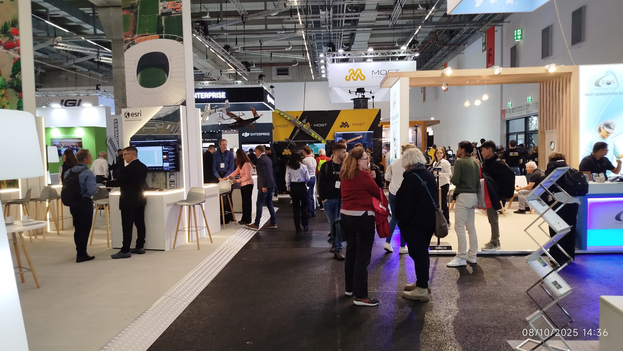
INTERGEO 2026 is dedicating Hall C5 to a Reality Capturing Experience Park and Reality Capturing Hub, where different approaches to mobile mapping, laser scanning, imaging and digital capture can be demonstrated and compared in practical workflows.
This is significant, rather than presenting reality capture simply as another product category, INTERGEO is treating it as an integrated technological ecosystem connecting the physical and digital worlds.
For GEOmedia, INTERGEO 2026 will therefore provide an opportunity to investigate a broader question:
How is reality capture evolving from a surveying technology into an infrastructure for understanding and managing the physical world?
During the weeks leading to Munich, and directly from INTERGEO 2026, GEOmedia will follow the technologies, companies and applications that are helping answer that question.
GEOmedia Road to INTERGEO 2026
GEOmedia will be at INTERGEO 2026 in Munich, 15–17 September, following the technologies and international companies shaping the next generation of the geospatial industry.
This article is part of GEOmedia's Road to INTERGEO 2026. Follow our international coverage, get your free visitor ticket and meet GEOmedia in Munich.
EXPLORE GEOmedia AT INTERGEO 2026 →


