

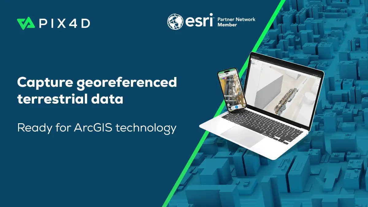
The combined workflow allows field teams to capture and process asset data and manage it within ArcGIS, Esri’s geospatial platform.
Field teams use the PIX4Dcatch app with real-time kinematics (RTK) devices to scan trenches and infrastructure. The generated high precision georeferenced records can now be published into Esri’s ArcGIS Online. Scans become 3D models and point clouds, viewable as a Scene Layer. Existing data can also be visualized in augmented reality for instant “as-designed” versus “as-built” verification before closing trenches.
“We are focused on turning hidden infrastructure into functional data,” said Andrey Kleymenov, CEO of Pix4D. “By connecting PIX4Dcatch with a compatible RTK device to the Esri ecosystem, we are enabling a terrestrial-scanning workflow that allows teams to update a master geodatabase with professional accuracy.”
“We are happy to work with Pix4D to offer infrastructure-focused organizations a seamless, direct path from the field into a geodatabase,” said Thomas Fair, Director, Esri Partner Network. “This new integration with ArcGIS will provide users with high-fidelity documentation of subsurface assets.”



