

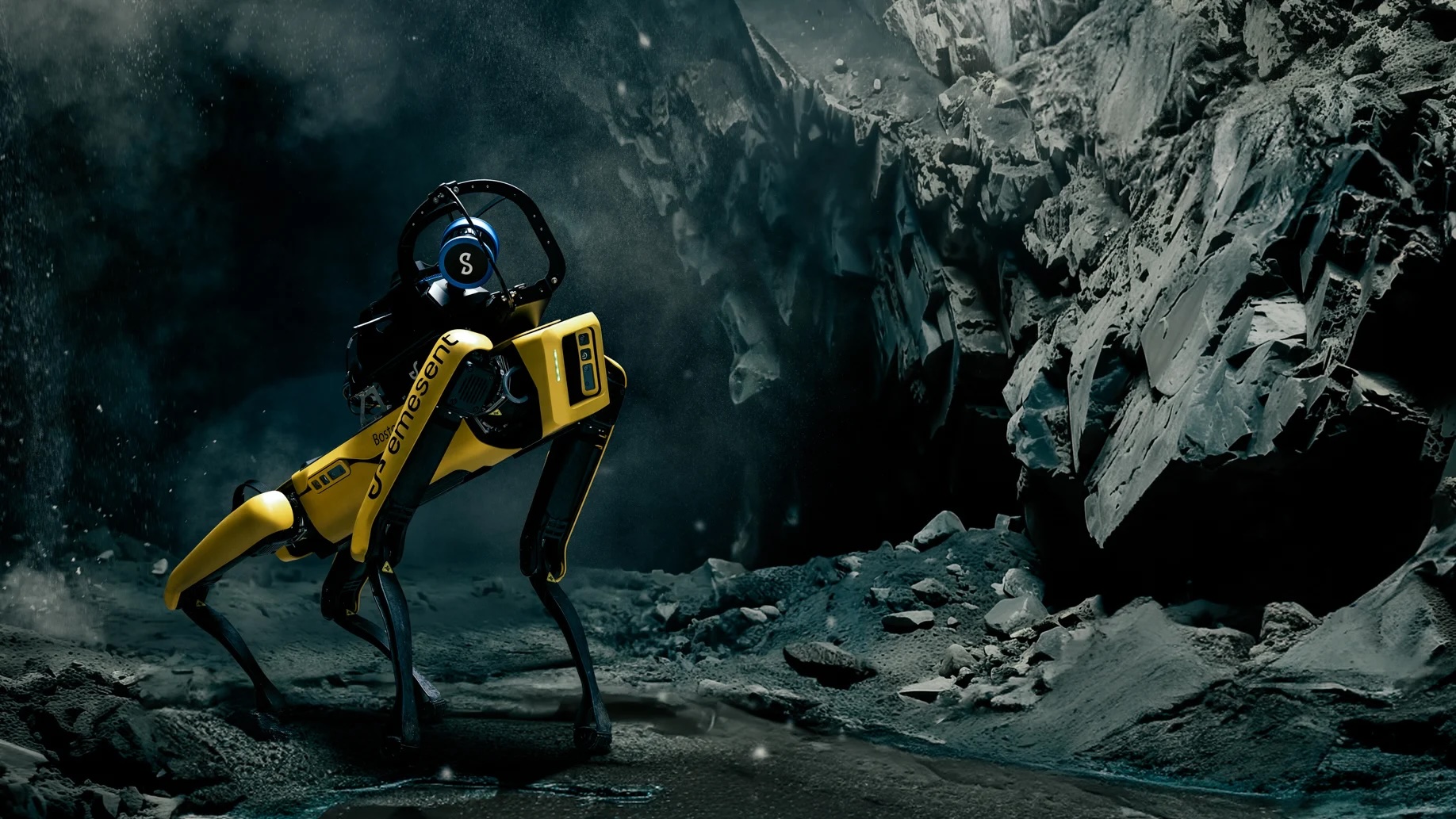
Emesent, an autonomous mapping and robotics company, has been awarded a $2 million USD grant from the Australian Government’s Cooperative Research Centres Projects (CRC-P) program to develop and commercialize Cortex AI, an open, modular autonomy platform designed to enable robotic systems and vehicles to navigate, map and operate in challenging and GPS-denied environments.
Modern industries are under growing pressure to automate, driven by the need for higher productivity, improved worker safety and the rapid growth of commercial robotic hardware across mining, construction, defense, infrastructure and other sectors. However, many automation systems still share a critical vulnerability: they either lack advanced autonomy or depend on GPS.
Underground mines, building interiors, tunnels and other complex environments may provide little or no GPS signal. According to Emesent, developing GPS-denied navigation technology from scratch can require five or more years and several million dollars in research and development. Cortex AI is being developed to reduce these barriers.
An open platform for GPS-denied autonomy
The project is led by Emesent with support from Queensland University of Technology (QUT) and EPE. It combines Emesent’s navigation technology, re-architected into modular APIs, QUT’s physical AI technology for scene understanding, and validation through EPE’s field-proven robotics solutions.
Cortex AI is intended to decrease time-to-market for robotics applications by removing the need to develop GPS-denied autonomy from scratch. Designed as a hardware-agnostic platform for aerial and ground robots as well as vehicle automation, it will provide layered APIs and SDKs to simplify integration and support new autonomous capabilities.
By providing the underlying autonomy and AI foundation, the platform is also designed to allow partners to concentrate on capabilities tailored to specific applications rather than developing their own navigation stack.
From autonomous products to an open platform
Cortex AI will also open Emesent’s existing autonomy technology to robotics companies, OEMs and other partners. The initiative represents an expansion from individual autonomous mapping products toward a broader open-platform model.
Systems powered by Cortex AI will also be able to feed data into Emesent Aura Cloud, the company’s processing and visualization platform, connecting autonomous data acquisition with spatial intelligence and digital twin workflows.
“Emesent’s vision is to be world leaders in autonomous digitization of the most challenging and unreachable places on earth. That starts with robots that can navigate and sense autonomously, without GPS, on any platform,” said Dr Farid Kendoul, Chief Technology Officer and Co-Founder of Emesent.
According to Kendoul, the company estimates that the GPS-denied autonomous mapping and navigation industry could reach $14 billion by 2030. Cortex AI is intended to make Emesent’s autonomy technology available to OEMs and partners while allowing more systems operating in the field to contribute data to Aura Cloud and strengthen the connection between the physical environment and its digital representation.
Already tested across multiple robotic platforms
A working prototype of Cortex AI has already been deployed with more than a dozen early-adopter organizations across defense, mining and the built environment. The technology has been integrated into drones, ground robots and heavy vehicles.
Cortex AI builds on the same SLAM and autonomy technologies used in Emesent’s Hovermap and GX1 products, which have been deployed in more than 50 countries. The new platform is intended to extend these capabilities beyond Emesent’s own products and make GPS-denied autonomous navigation and mapping available to a wider robotics ecosystem.
Continua nell'ecosistema MediaGEO
- Il nuovo GX-1 di Emesent tra Roma e Vimercate: il video di Paolo Corradeghini con Spektra-Trimble – A GEOmedia field-focused look at Emesent’s SLAM and mobile mapping technology.
- Emesent GX1: il nuovo standard del mobile mapping con SLAM, RTK e immagini 360° – GEOmedia’s overview of the integrated SLAM, RTK and imaging technology used in the Emesent GX1.



